.jpeg)

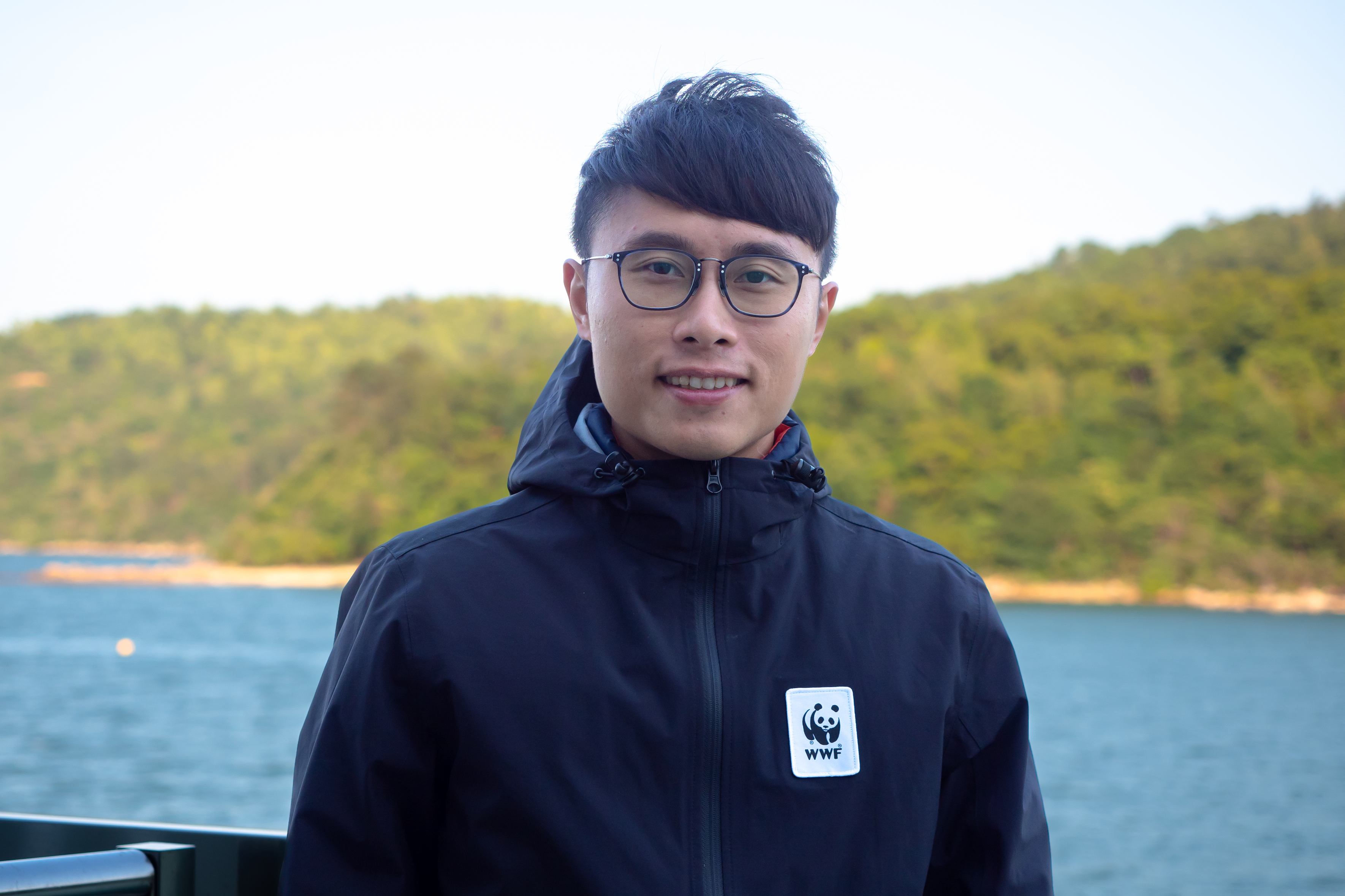
Interviewee: Kelvin So, Manager, Oceans Conservation, WWF-Hong Kong
Q1: Tolo Seascape has seen a significant decline in fishery resources and habitat quality over recent decades. Despite these multiple pressures, why is Tolo still identified as a priority site for sustainable fisheries management and marine conservation?
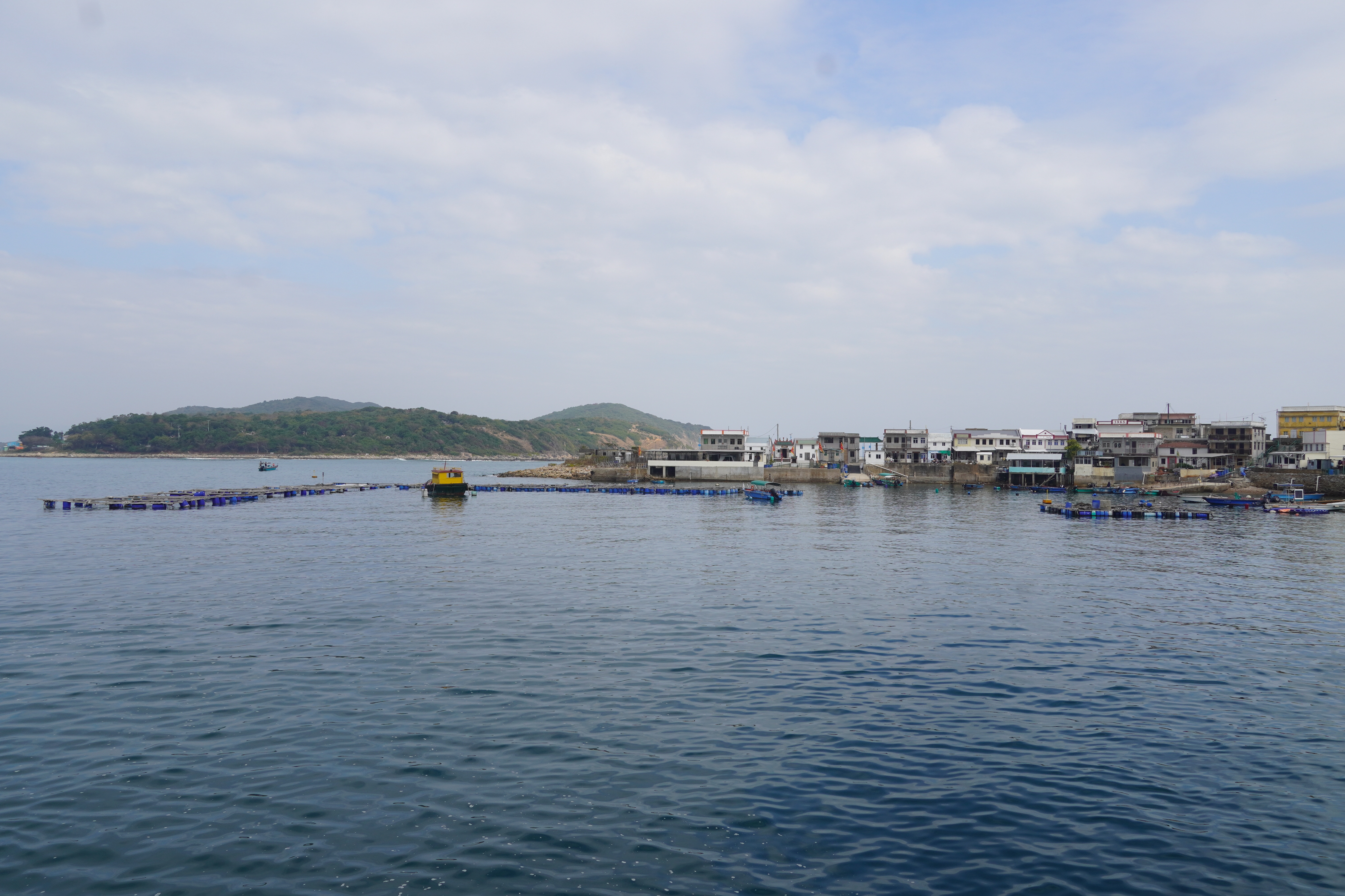
Tolo Seascape was once one of Hong Kong's most productive fishing grounds, but decades of urban development and fishing pressure have taken a heavy toll. Land reclamation reduced the sea surface area by nearly half, and sustained commercial fishing pushed the ecosystem well beyond what it could sustain. Coral coverage has fallen from around 80% to just 2%, areas where seagrass beds were once recorded have disappeared, and fishery resources have declined sharply.
Yet we chose Tolo precisely because we see its resilience and potential for recovery. As a semi-enclosed bay, its geography acts like a natural nursery and spawning ground, providing important habitats for juvenile fish. Local scholars have been conducting coral restoration research in the area for years, with encouraging results already emerging, demonstrating that this ecosystem has the conditions to recover. The government has also named Tolo Harbour and Port Shelter as potential Fishery Protection Area (FPA) sites in its policy documents, making the direction clear. The target of this project is to provide the scientific backing to turn that policy into reality.
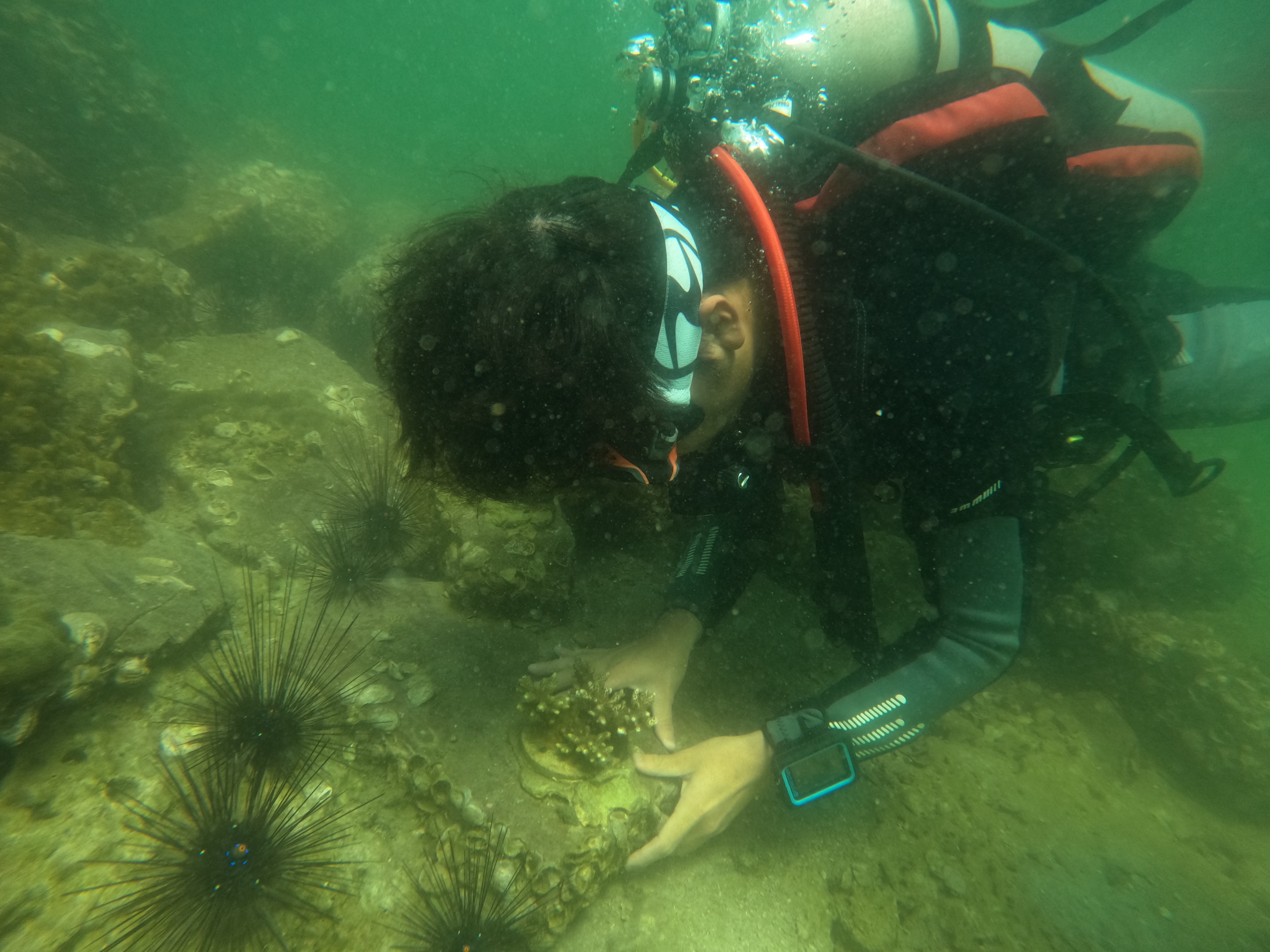
Coral restoration efforts in Tolo Seascape have shown promising results, with over 1,000 corals successfully restored — a testament to the ecosystem's capacity for recovery.
Q2: How is the "fishery characterisation landscape map" different from a standard fishery survey?
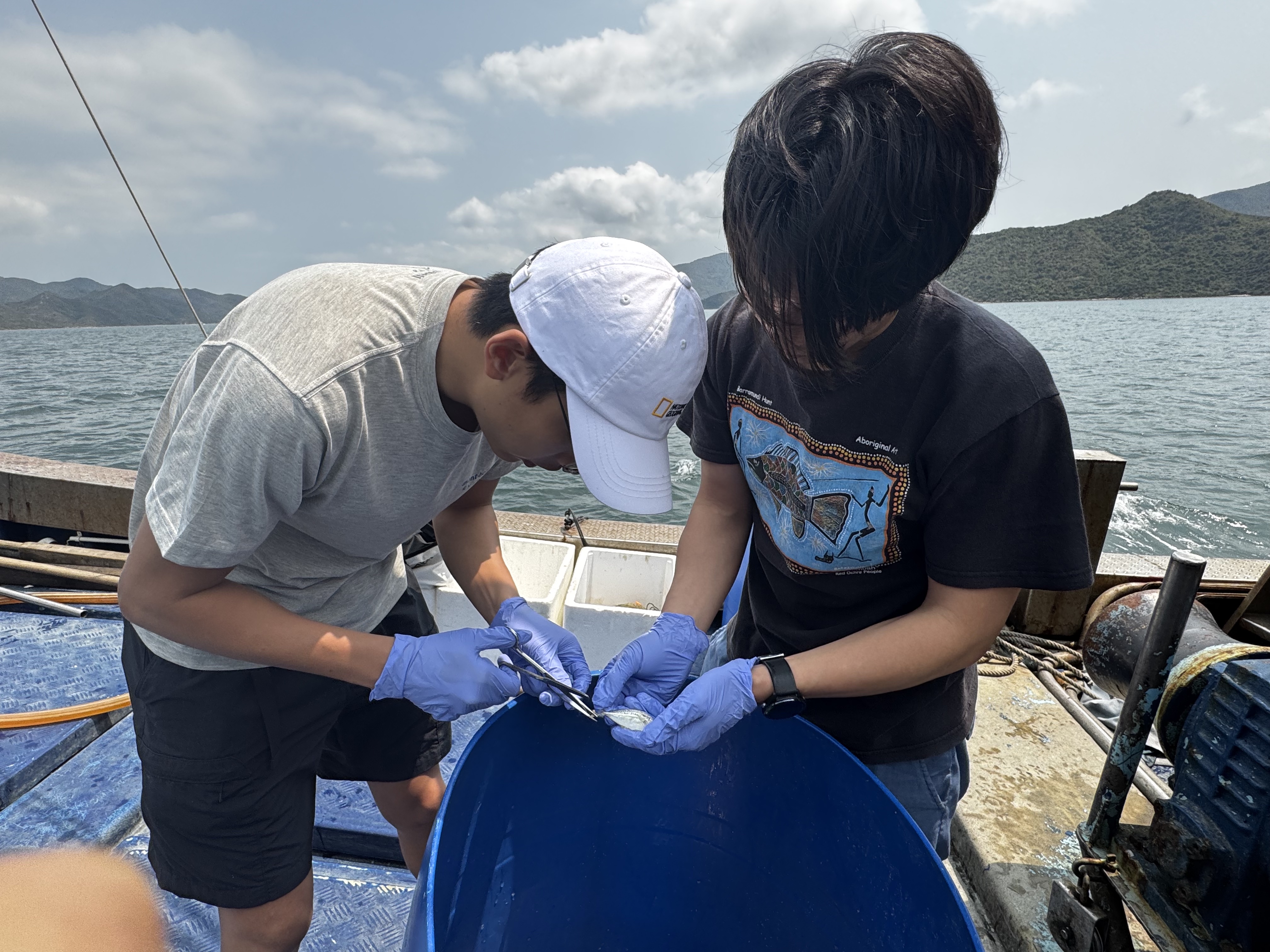
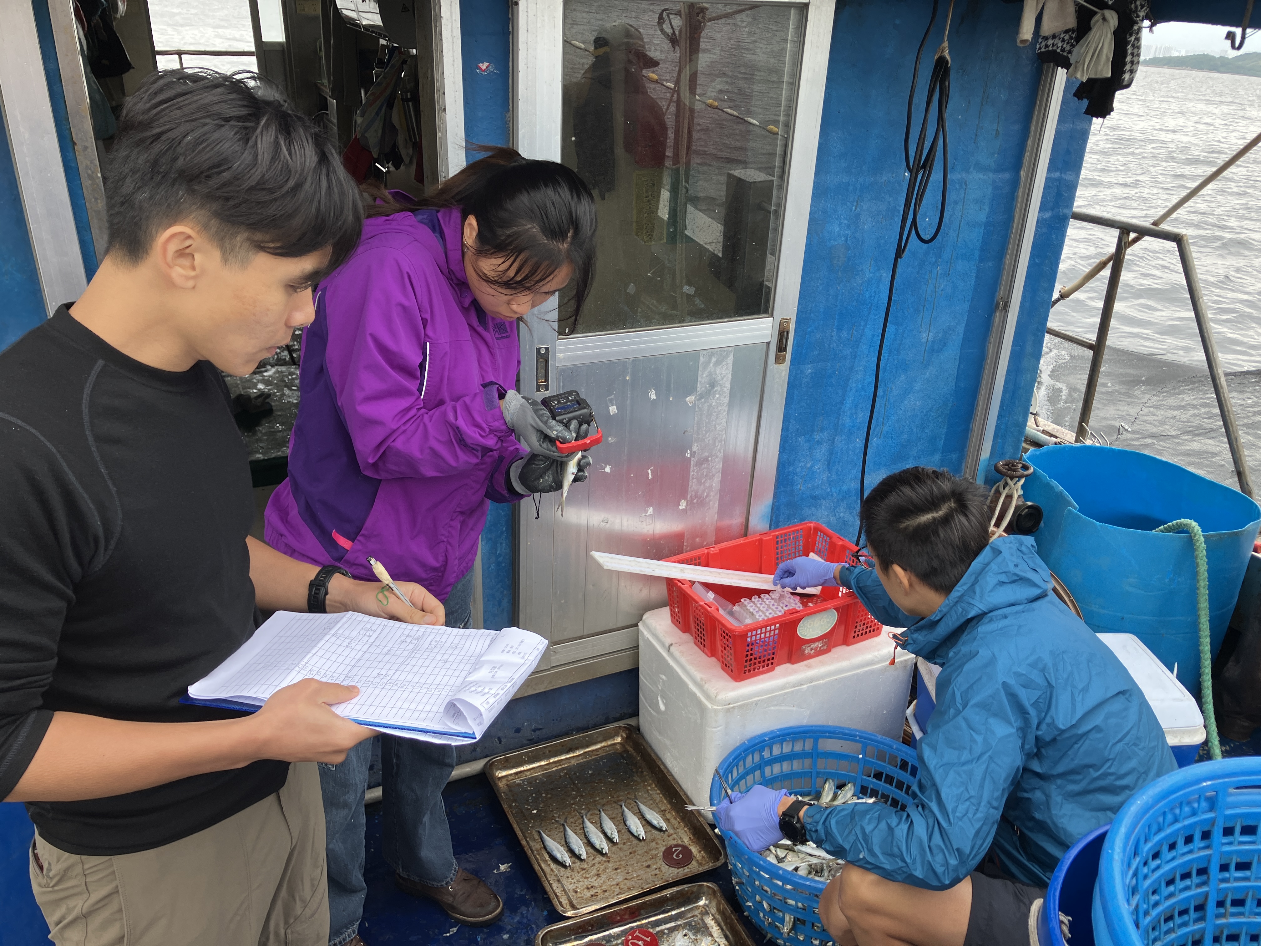
Standard surveys, while methodologically rigorous, often only capture a snapshot of conditions at a specific point in time, and may not fully capture long-term changes within the fishery ecosystem. Our approach is built on a Local Ecological Knowledge (LEK) framework, led by Dr. Leung Po Shan from Island Studies Network (HK). Through in-depth interviews with fishers and various water-based workers, the project transforms decades of accumulated experience and memory into precise spatial data. All findings are ultimately integrated into a GIS spatial map, giving the public a visual and engaging way to truly understand the history and present of this seascape.
Q3: The government has proposed Fishery Protection Areas (FPAs) in its policy documents. What specific insights will this project provide to help turn these proposals into reality?
We will provide scientific evidence from three angles. On spatial analysis, by combining habitat restoration data with the fishery characterisation map, we can identify core areas of the highest recovery potential, providing evidence-based guidance for FPA boundary setting.
On fish genetic data, we are working with Dr. Arthur Chung of HKU to conduct non-invasive genetic diversity analysis on five key fish species to calculate a Genetic Health Risk Indicator that assesses population health and genetic resilience.
The fishery characterisation map further reveals fishing hotspot distribution, human activity patterns, and carrying capacity, providing a practical framework for future zoning and management design. Together, these three datasets build the scientific foundation, while community engagement establishes the social foundation needed to make policy advocacy truly compelling.
Q4: You have emphasised that scientific data alone is insufficient when advocating for marine conservation. What does that mean in practice at Tolo?
At its core, marine conservation is about people. Data alone cannot change anyone's behaviour, and without community participation and buy-in, even the most rigorous scientific conclusions may remain confined to reports.
The stakeholder landscape at Tolo is genuinely diverse: traditional fishers, fish farm operators, water sports users, and surrounding community residents, each with different expectations and concerns. If conservation measures are driven solely by scientific evidence, they may easily be perceived as externally imposed restrictions and create resistance. So alongside our scientific work, we place equal weight on listening, documenting fishers' decades of experience, understanding their livelihood needs, and exploring transition pathways together, whether that means leisure fisheries or sustainable aquaculture. When communities feels that conservation not as a restriction, but as a way of protecting their future, conservation can shift from passive acceptance to active participation. Scientific evidence, community engagement, and policy advocacy are all interconnected, and conservation efforts cannot succeed over the long term if any one of these elements is missing.
.jpg)
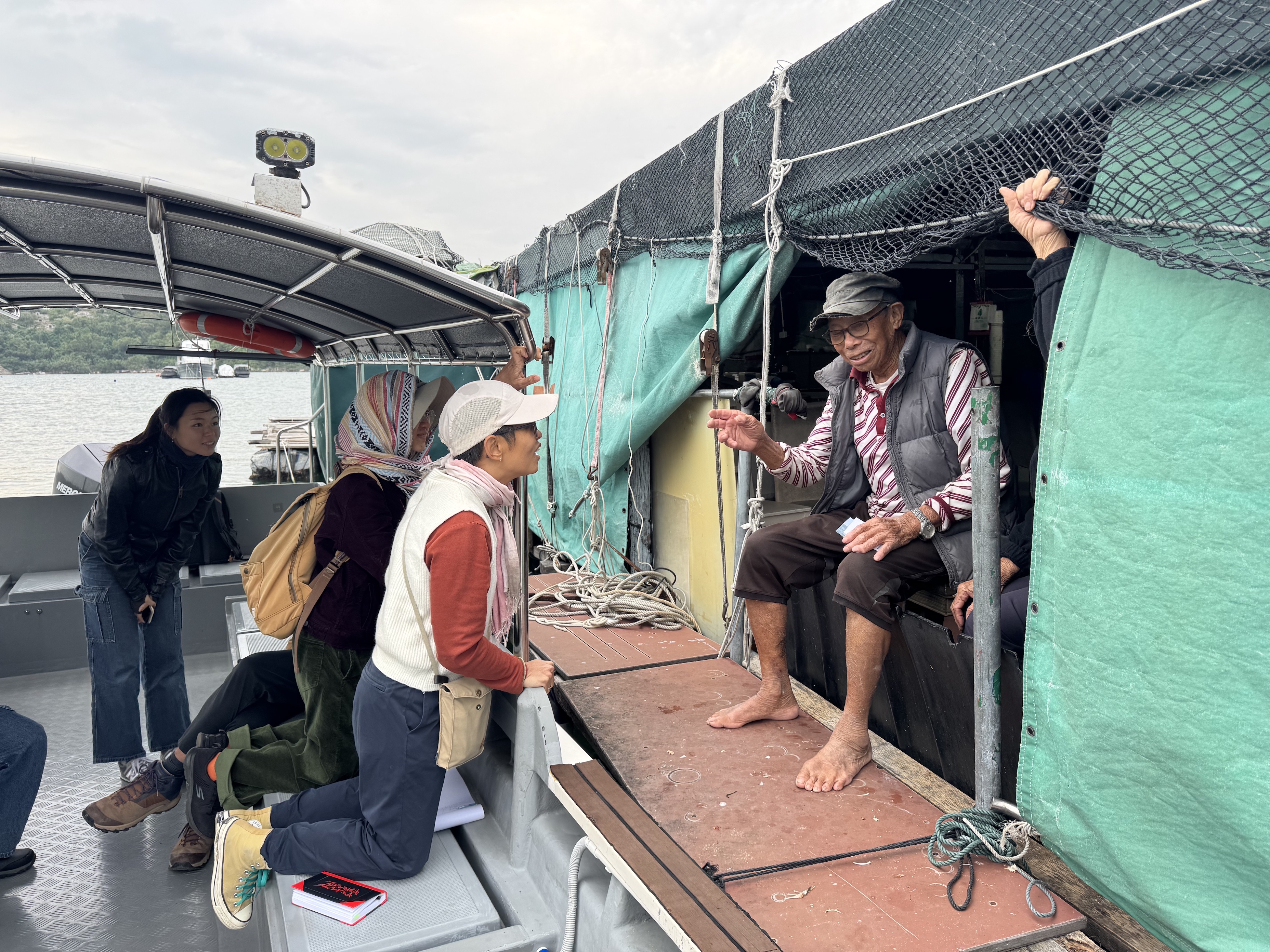
Understanding the lived experience of local fishers is central to the Embracing Our Tolo project. Their decades of knowledge form the foundation of the fishery characterisation landscape map.
Q5: What does a "successfully conserved" Tolo look like by 2030, in the context of the global "30x30" conservation targets?
By 2030, I hope Tolo can become a living demonstration of Hong Kong's Ridge to Reef ecological connectivity, with effective management allowing the seascape's ecological restoration work to be matured and scaled up, achieving systematic and long-term restoration. Fishery resources should be showing measurable signs of recovery, an established framework for Other Effective Area-based Conservation Measures (OECMs) framework should be in place as a transitional mechanism before any formal FPA designation, and it should define seasonal fishing closures, no-take zones, and managed fishing areas that allow sustainable fishing to continue within an appropriate structure, enabling fishery resources to recover. Most importantly, I hope to see fishers, communities, government, and academia build a genuine co-management mechanism together, not stepping in after problems emerge, but standing together as long-term stewards of this seascape from the very beginning.
%20Leung%20Po%20Shan.jpeg)
.jpg)

.jpg)

.jpg)
.jpg)
.jpg)